

See More, Make Better Decisions

About us
- FAA Comercial UAS Operator Certificated
- NIST UAS Proficiency Test Certificated administered by the University of North Dakota
- NASA Applied Remote Sensing Training Program (ARSET) Certificated
More details on the "About" page
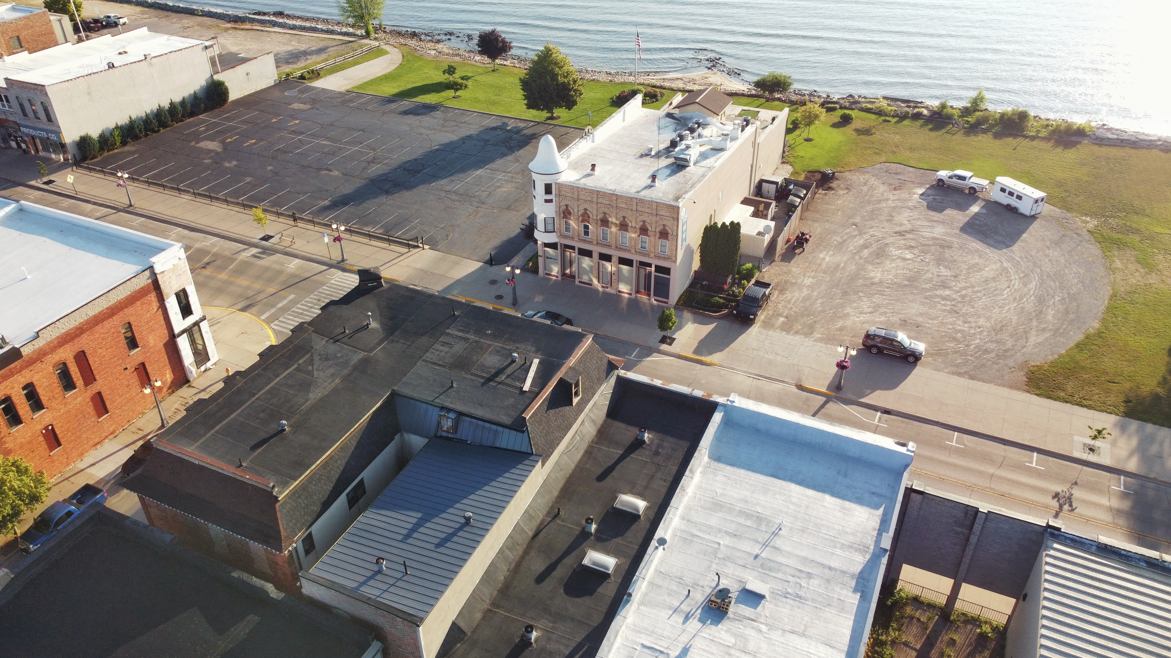
Digital Twin your infrastructre
Track change and archive conditions. Prevent future deterioration.
Property
Management
Inspect the condition of all your assets at any time while also having records of previous overviews.
Preventitave Maintenance
Detect corosion and deterioration before before it is too late. Track and predict issues before they become concerns.
Insurance
Documentation
In the case of disaster, get the reimbursment you deserve by having credible third party archived data and reports.
Need proof? Find it here...
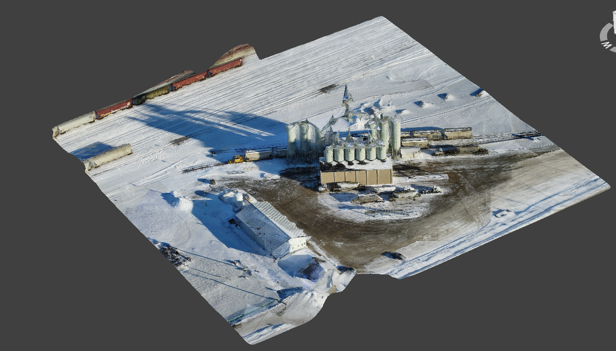
3D Models
High accuracy interactive models that can be viewed anywhere and can be used in 3D design, gaming, legal disputes, or for preservation. Explore and archive the modeled location to predict and prevent deterioration as well as make informed decisions.
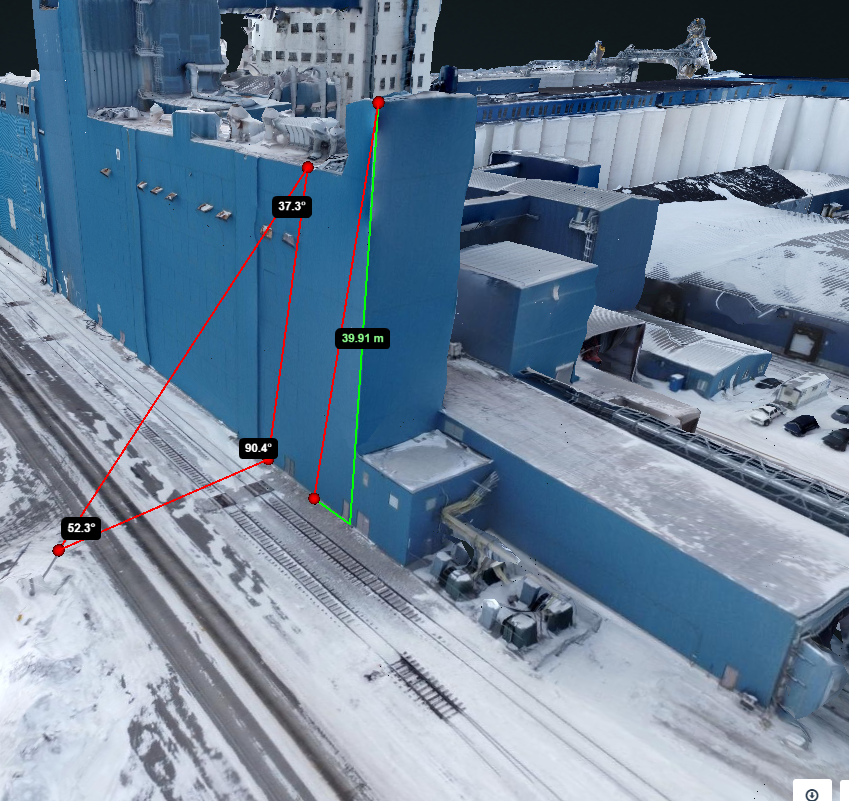
Volume Measurements
Pull height, angle, and distance information at any time. Also find cut or fill volumes. Show that you're right and share it with those who need to know.
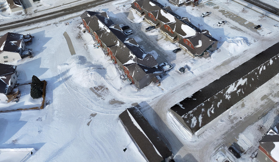
Point Clouds
Dense point clouds can be exported in most file formats. Import these files into planning design software, video game creations, or even 3D printable formats.
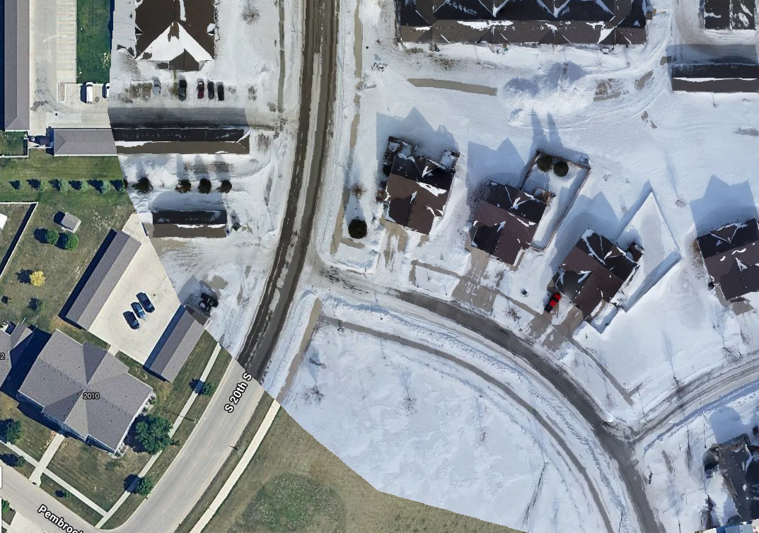
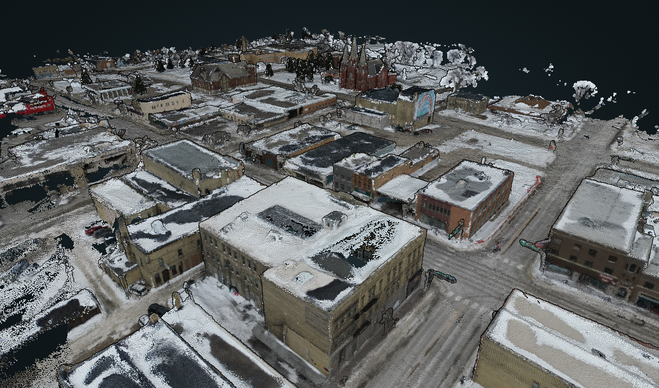
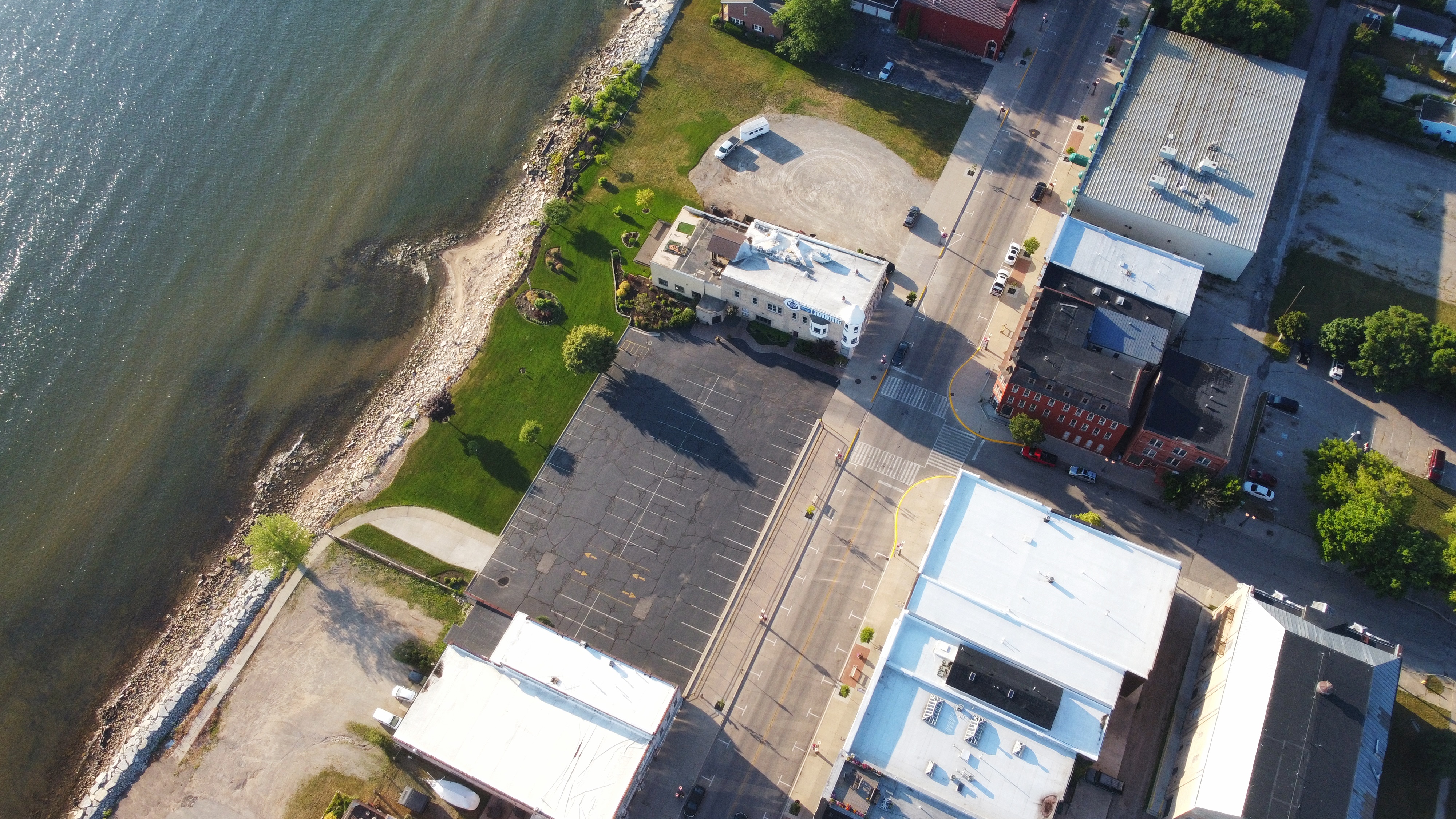
Orthophoto Mosaic Mapping
Orthographic RGB and Multispectral mapping, can be compared with other maps. Accuracy is extremely high and is useful for legal disputes, property management, crop health, property maps, and insurance documentation.

Products
DSM - Digital Surface Model
See the surface accurately. Helps track drainage patterns and erosion now as well as over seasons. Shows true ground elevation for GPS map calibration.
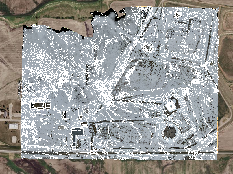
Topographical Maps
Similar to conventional topo maps but is created much more quickly and is much less expensive. Accuracy is significantly better than satelitte maps.
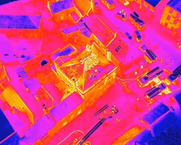
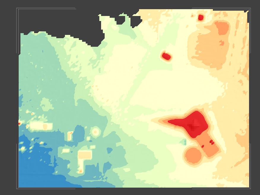
Thermal Imagery
Calculate heat loss, analyze insulation and roof integrity. Find lost animals or people. See the temperatures of objects.
Frequently Asked Questions
If you are curious about anything else, reach out. A real human will answer your questions, not a bot.
How long would it take to scan my house?
Houses, businesses, properties, and other urban missions usually take as little as under 10 minutes for a suburban lot and up to 30 minutes for more complex situations, like a factory complex with 3D model. Processing takes 10 - 25 minutes depending on services selected.
If I have a drone could you process my pictures?
Absolutely! You could create high quality models or maps with even phone pictures on our custom workstations running the high performance software. We would be happy to help create verified quality reports based on the pictures and add credibility and help improve accuracy.
Do you have datasets available open source?
Of course! We offer free image sets, data, and models upon request for game developers, ecologists, geologists, geographers, and any other researchers.
Do you discount services for non-profits?
Yes, we will discount all services by 60% for non-profits. For sponsors looking to help the community such as park and facilities scanning or law enforcement we offer 50% discounts on services as well.
Is my data safe?
All processing is done locally on secure custom-built workstations. Afterwards, data is stored on offline recoverable hard drives with access only being granted to you.